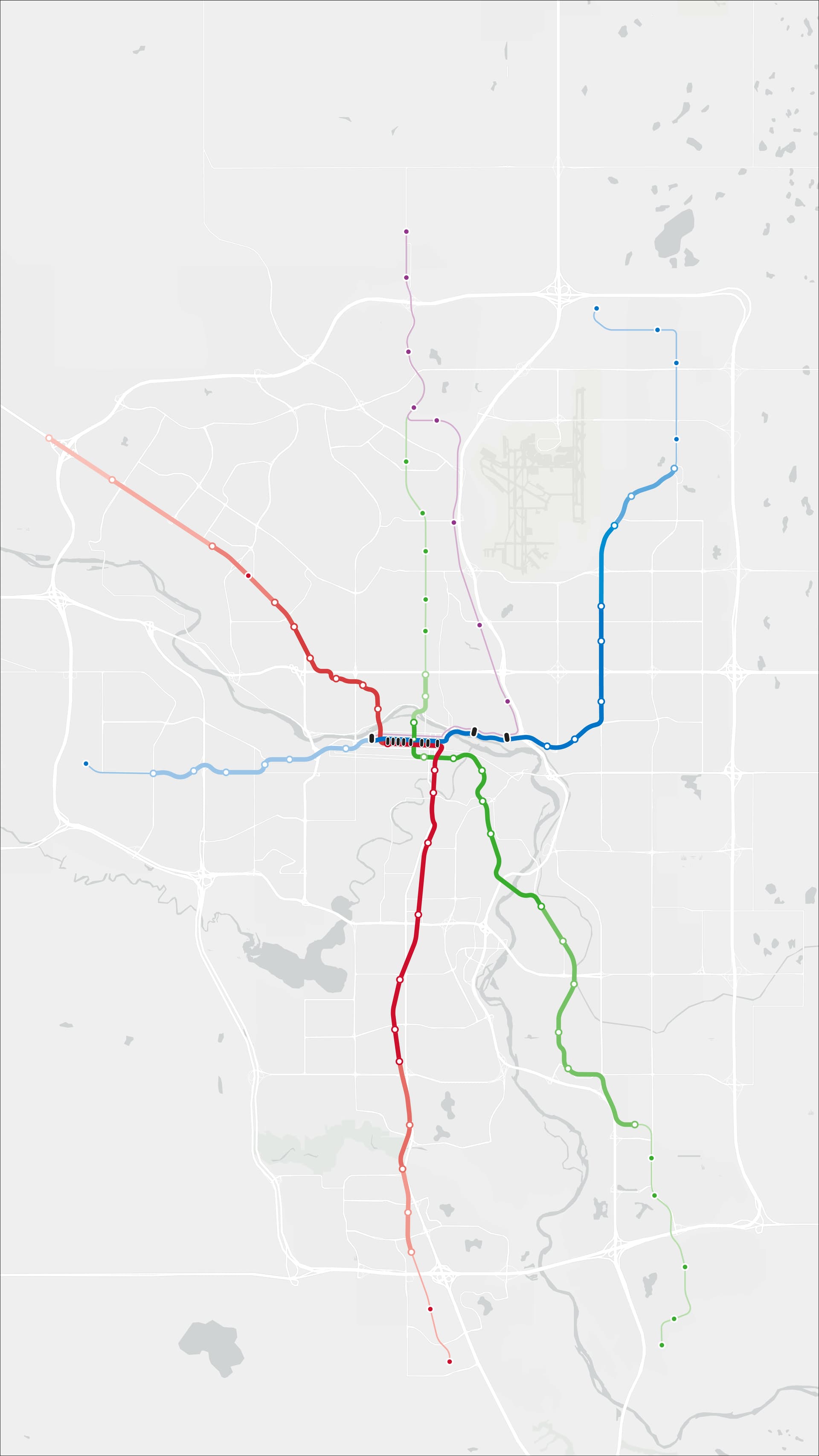
This is intended either to be a standalone short or to be used as b-roll for something else related to CTrain expansions, Calgary’s history, etc.
I’ve been working on this animation in After Effects for a while, although it needs to be properly scaled to the size of the screen and there are some tiny details which need to be ironed out.
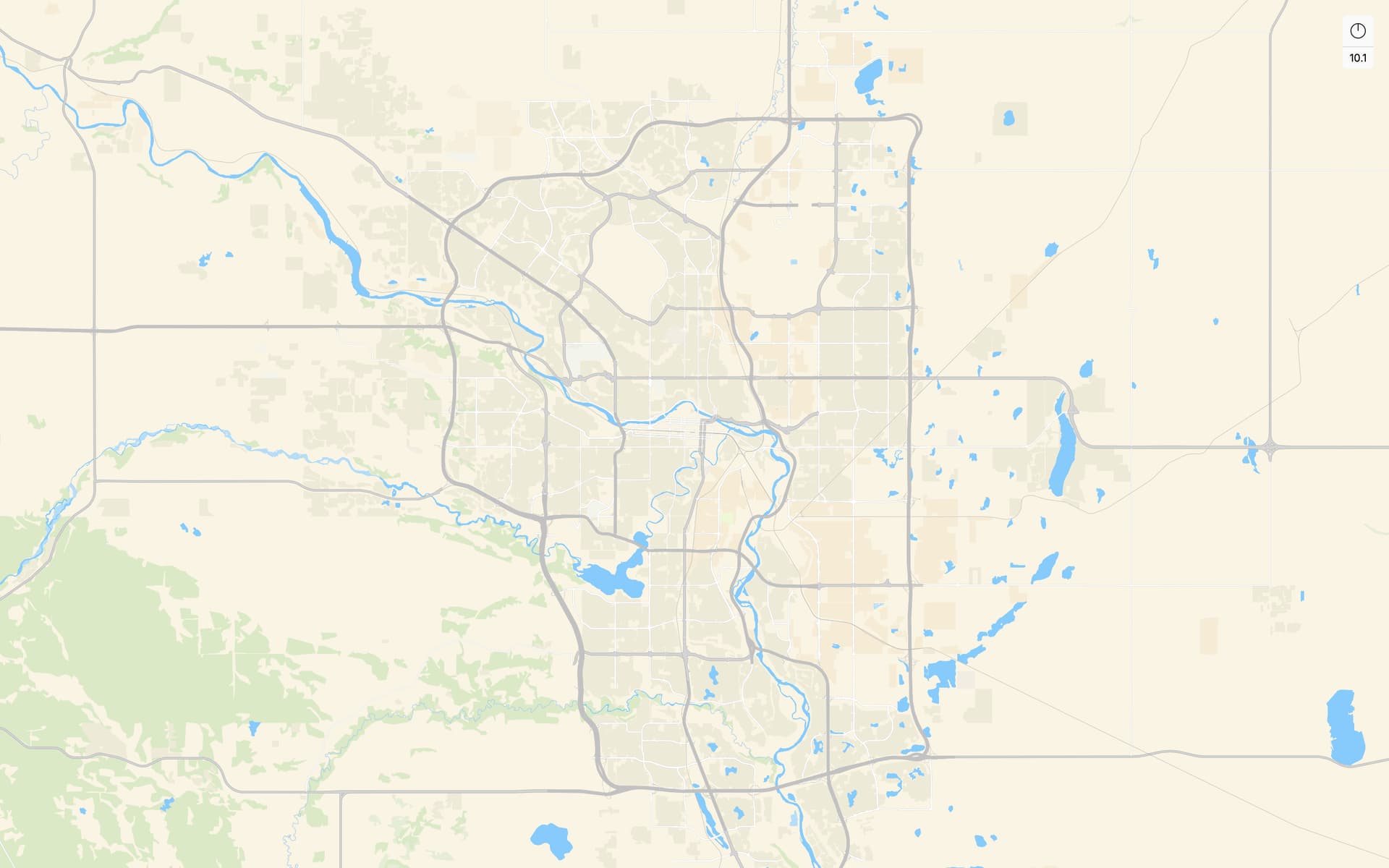
I do like the colour palette on it, and the metro-ificiation of the water systems - just wish the road and parks system was following a similar design language. Looks like it was quickie png to svg conversion.
I would love to switch out the basemap – however, given that the current basemap is simplified and metro-ified, this will be a pretty big task.
It does give me the idea of creating an Unsprawling basemap
Ooh, I’ll check it out.
If need be, I have ArcGIS skills and can create a basemap there - although I’m not sure how open-source and accessible that would be. I’ll check this out!
You do have to play around with the settings a bit to get it to look like that. Like removing roads except for highways and removing rail lines I think
Update!!
I’ve started an animation using the new map.
Currently, the animation does not include stations, nor the new AECOM alignment, but in due time it will.